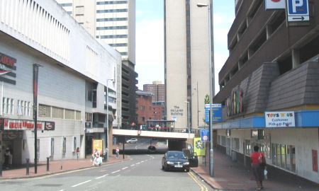
Inner Ring Road Central
Note that you
can click on any old picture to see a larger version
Colmore Row / Steelhouse Lane
|
|
 |
 |
| 1962 |
2005 |
| Here's
another picture where it's tricky to prove this is the same
place! The only proof I can offer is that the splendid building
to the left of the old picture is Snow Hill Station. The modern
equivalent can not be seen on the 2005 picture but I assure you it's
there. The demise of Snow Hill Station is a sad tale. It stood derelict for many years before it was finally demolished. We must be glad that Moor Street Station did not suffer the same fate - it's the only city centre station whose building has survived, despite some years in a state of dereliction. |
|
Upper Priory
|
|
 |
 |
| 1961 |
2005 |
| Centre
stage here is the Gaumont Cinema. In 2005, it's The Wesleyan
sitting in the centre of Colmore Circus Queensway. In front of The Gaumont is an impressive, gothic style building. I wondered if this could have been the Friends Meeting House shown on the 1950 map but a 1908 tram routes map identified it as 'outpatients for women and children', presumably related to the nearby General Hospital. This was later confirmed by Jenny who got in touch and said, "The Friends Meeting House was not directly opposite the Gaumont. There was a small alleyway known as Dr Johnson's Passage which ran from Bull St to Upper Priory. My aunt worked at Grey's furniture store which faced onto Steelhouse Lane - opposite to the Gaumont. We would go to the firm's canteen via the back door into this passage. The meeting house and Quakers burial ground was the other side of Dr J's P. The meeting house, or rather a modern replacement, is still there leading from Bull St, behind large gates." |
|
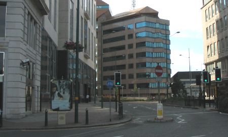
Old Square
|
|
 |
 |
| 1961 |
2005 |
| This
picture caused me a great deal of consternation! None of these
old buildings survive - The Kings Hall Market, The Grand Casino, The
Stork Hotel. I knew where Old Square was but where was the
picture taken from? The clue was the road sign with the black and
white pole to the left of the picture. The same pole is visible
on the Upper Priory photo, above. With the clue to help I can be sure that the narrow road disappearing into the distance is Lower Priory. The building illuminated by the sun at the end of that road is in Dale End. I was pleased that the building on the far right is still there today to prove my theory. Harry got in touch with the following memories about the building visible in Dale End: "Your photo of the Old Square and Lower Priory brought back a few memorys of the building that can be seen at the bottom of Lower Priory. This is the head office of the Midlands Electricity Board, I was an apprentice with the M.E.B from 1951 till 1955, the building was used for the meter reading staff and where all the bills were sent out from. Also, at the end of a long passage was the training office which we had to report to each month so that the training officer could read out our report cards from various foremen and our Tec College. The building itself was very grand and I was told that in another life it had been a shopping arcade, evidence of its past could still be seen in the ornate plaster work of the high ceilings and the old shop fronts that had been converted to offices. At the end of the building was a small power station supplying DC current for the trams and trolley buses still in use round the city also some of the larger stores had lifts which had not been converted to AC current in those days." |
|
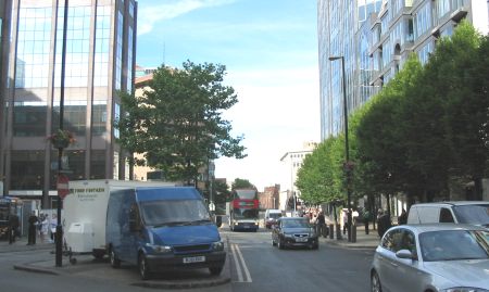
Dale End
|
|
 |
 |
| 1961 |
2005 |
| Dale End
has always been an ugly backwater of the city centre in my eyes.
To see what was destroyed here to give us the concrete jungle of modern
times was a shock. It was also a surprise to find that, in 1961,
Dale End was part of the A47 main road. A couple of people have got in touch to say that they remember 'The Scout Shop' that used to be in Dale End. I think it is the shop on the far left of the old picture - number 105. |
|
 |
 |