M5 West of Birmingham
This may seem an odd subject but it's actually classic D. J. Norton
material. His pictures of
Birmingham,
railways and
trams all capture a changing world
and what could be more profound a change than the introduction of the
motorway network. The fact that he took pictures so close to
where I now live made them all the more relevant to me.
It's not just these pictures that prove my father's interest in the M5
development. His 1962 OS map of Birmingham had some dotted lines
printed where the motorway was planned to go. He had added the
route from Bromsgrove to Quinton in pencil, a route obviously undecided
when the map was printed.
I was inspired to put this page together when a major period of
roadworks took place at Lydiate Ash during the first half of
2009. The island was re-aligned to improve traffic flow. Of
course, the old bridges seen in my father's pictures could not be
modified so remained untouched by the work.
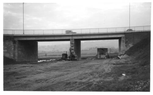
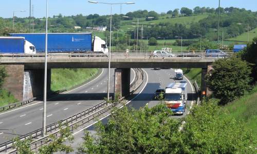
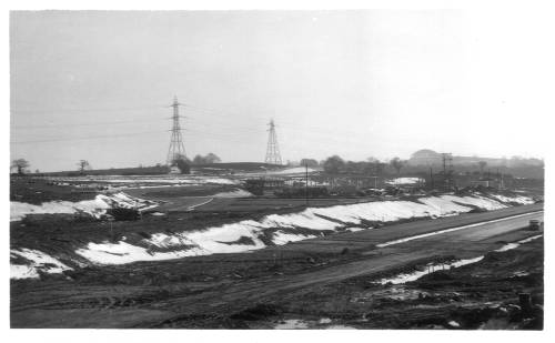
M5 Release Road, Lydiate Ash
|
M5, Lydiate Ash
|
|
 |
11/11/1962
|
11/11/1962
|
This
picture is taken from the northbound exit slip road. Much as I
would have like to have taken a modern view I thought it was too risky!
|
This picture
shows Lydiate Ash island and was taken from the bank adjacent to the
southbound entry slip road looking north. At the time the road
surface only extended to the island. The sign on the bridge
indicates that the contractors were Monk.
|
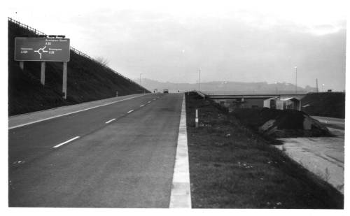
Site of M5, Lydiate Ash
|
|
 |
11/11/1962
|
1/6/2009
|
For this
view my father had moved to the middle of the island, stood to the side
of the site of the southbound carriageway and was looking north.
|
My view of
the bridge was taken from the island itself as I don't think I'd have
gotten away with climbing down the bank! The bridge looks in good
order even though over 45 years have passed.
|
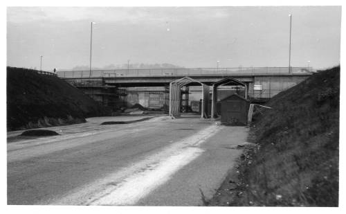
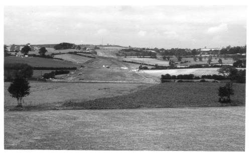
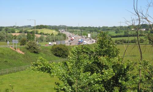
Roadworks for M5 nr Lydiate Ash
|
|
 |
28/9/1963
|
1/6/2009
|
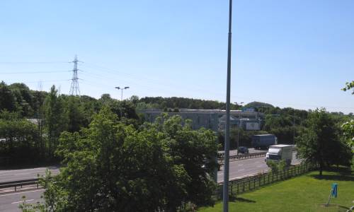
Perhaps
the most dramatic picture, here we see the effect upon the countryside
of the roadworks required to create the motorway. The view is
looking north from Lydiate Ash island.
|
The same
view today with the M5 an accepted part of the landscape.
|
Site of M5 Service Station, Illey
|
|
 |
7/3/1965
|
1/6/2009
|
A few
months later and the motorway had made it as far as Frankley.
Looking east across the carriageway from Illey Lane, this picture shows
the early stages of construction of Frankley Services, at least the
part that would serve the south bound traffic.
|
My own
picture of the services as we know them today.
|
Passing through Lydiate Ash every working day had given me the chance
to observe that there were many clues to how things had been before the
M5 arrived. The map below shows the area as
captured on a 1942 War Office map of Birmingham. Move your mouse
cursor over the map and the changes that took place are shown.
The main changes were:-
- Re-routing the Halesowen Road on the approach to
Lydiate Ash island
- Re-routing Lydiate Ash Road to move the junction to a
safer place
- Creating a link from the A38 to Lydiate Ash island
and thus relegating the old Birmingham Road to a cul-de-sac
- A major change to the course of Manor Lane
|
The clues to all this are shown in my pictures and the aerial view
below.
 |
Key:
Blue - M5
Red - A38 & Lydiate Ash Road
Purple - Manor Lane
Dashed Purple - old route of Manor
Lane
Move mouse over map to see changes
|
|
|

|
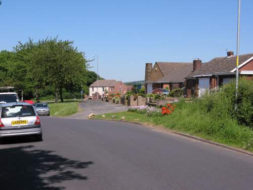
Taken
from the old section of Halesowen Road looking towards Marlbrook.
|
This picture
was taken from the middle of Halesowen Road and clearly shows the path
that the road used to take. The view is looking towards Lydiate
Ash island.
|
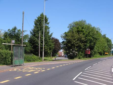
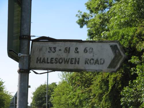
I had often
wondered how old this cast iron post was! It was close to a bus
stop
where Halesowen Road was diverted but was removed in September 2009.
|
|
|
I suspect
that this sign was erected when the diversion of Halesowen Road took
place so that drivers could locate the few houses now set back from the
main road.
|
Lydiate
Ash Road was also re-aligned to move the junction with Halesowen Road
away from the island but it's clear to see where it used to be located.
|
|
|
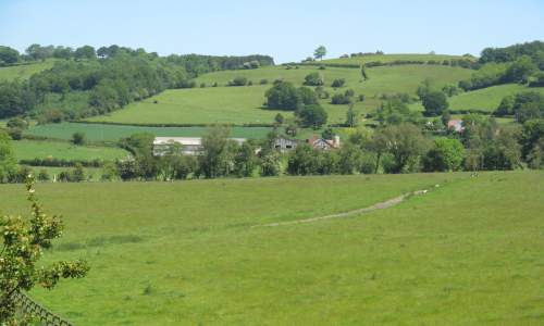
The 1942 map
shows that Manor Lane used to connect to Sandy Lane to the west of the
site of Lydiate Ash island. The M5 would bring an end to this but
the path of the old road is still clearly visible on a field between
the motorway and the A38 north of Lydiate Ash.
|
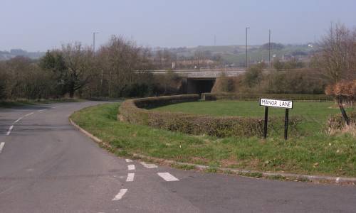
The
re-routed Manor Lane now passes under the A38 and joins with the old
Birmingham Road as shown in this picture.
|
|
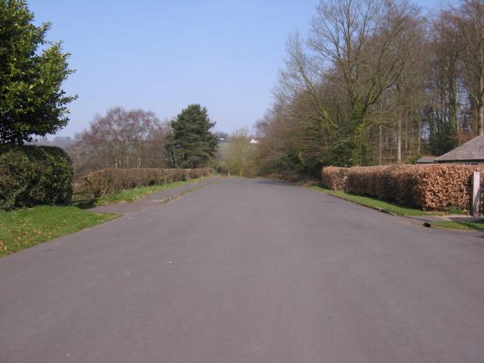
The road to nowhere... The
old Birmingham Road looking towards Rubery. This once busy
highway is now a quiet cul-de-sac.
|
|
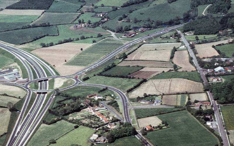
A superb aerial view of Lydiate
Ash c.1966. Note that the motorway is only two lanes and is very
quiet compared with today. The red blob at the island is a
Midland Red double decker on the 144 route.
|